When we fill something online on a website where any forms need to be completed, we observe that when we enter the place we get the perfect co-ordinates. Text description of places are converted into geographic coordinates in the form of latitude-longitude. All of this can be easily achieved with the help of geocoding API. There are a plethora of APIs in the market, but choosing the right one is all that matters.
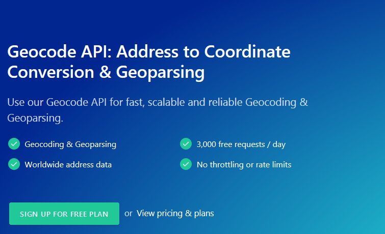
Mapping or geocoding API’s make the work a lot easier instead of writing codes from the beginning. I choose an API that goes by the same name, Geocode API for my development program and they got me real-time geocoding and geoparsing data much faster. It gives you global data that are frequently updated.
The most notable features of Geocode API are as follows:
- Supports geocodes in an easily readable JSON format.
- With Geocode API, you will have to pay only for what you get.
- The team’s functionality and support are very impressive. Once you get to them via Email, they are ready to provide integration support with the software.
- The team responds to the client queries in case they have any at the earliest possible. All that you have to do is to fill the contact form and send it to them.
- The free plan is available, using which users can get the benefits of the app with 350 requests/month, email support and self-service.
The firm provides many different pricing plans for its customers that asks them to pay on a monthly basis. The plans vary with the number of requests, queries per second, HTTPS encryption, support, SLA and onboarding. The plans can be utilized according to the requirements of startups and large enterprises. It comes with small, medium, large and custom plans with an amount of $85, $135, $300 and custom pricing respectively. A discount is offered to clients who choose annual subscription plans. The SLA comes with an uptime of 99.9%.
Geocode API helps you in automatically filling forms by providing a fast, auto completing location input field. It also assists in enriching the CRM data and enables data visualization. With Geocode API, you can clean and normalize data and later visualize it easily.
With Geocode API, you have endless possibilities of geocoding and geoparsing your applications or data without any hassles. What are you still waiting for? Get real-time geocoding data that meets your requirements with the ultimate Geocode API.
Worth having Webapp – Try Geocode API

